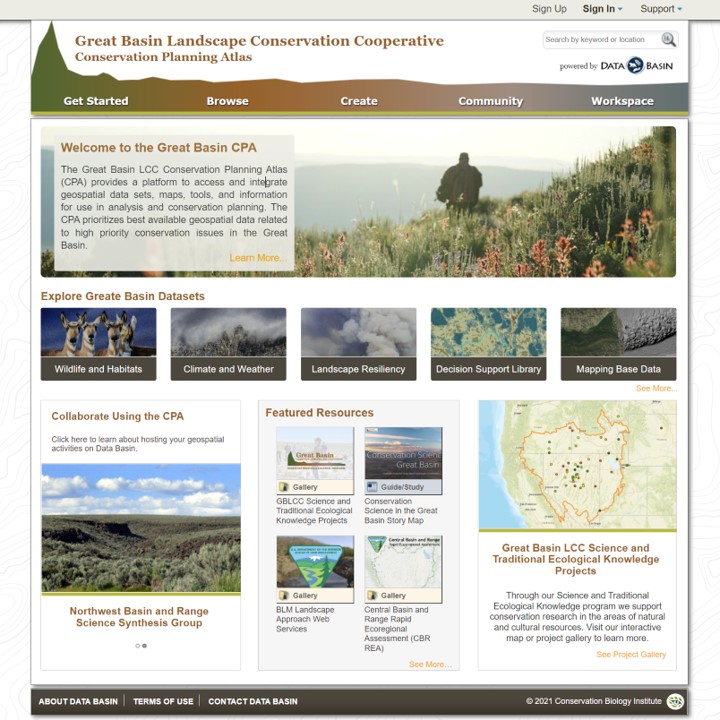
Great Basin LCC Conservation Planning Atlas
The Great Basin LCC Conservation Planning Atlas (CPA) provides a platform to access and integrate geospatial data sets, maps, tools, and information for use in analysis and conservation planning. The CPA prioritizes best available geospatial data related to high priority conservation issues in the Great Basin.
- Project lead Eric Jensen
- Collaborators Rick Kearney, John Tull, Kai Henefin
- Website Link to Website
- Tools ArcGIS 10.X, ArcGIS Online, Data Basin, REST Services
- Completed January 2018
ABOUT THE PROJECT
Visit the Great Basin LCC Conservation Planning Atlas here!
Project Description
The Great Basin LCC Conservation Planning Atlas (CPA) brings cloud-based functionality and collaborative features to a geospatial platform for conservation initiatives across the Great Basin. The CPA resides within the Data Basin online platform, allowing users and groups to create unique collaborative mapping products for their projects. Drawing on over 16,000 datasets currently in Data Basin–including high-priority datasets from LANDFIRE, BLM, USGS, and others–users are able to share maps within public or private groups and then to dynamically interact with those products as a group. In addition to the collaborative planning features, the CPA also provides the Great Basin LCC with another platform through which to further promote implementation of science produced through our Science and Traditional Ecological Knowledge (S-TEK) program.
The Conservation Planning Atlas (CPA) is designed to make accessible and usable the geospatial data and resources that our constituent groups need to inform their decisions. Through this portal we plan to host decision support tools and important regional datasets that touch on a number of key conservation issues, including:
- Wildlife and Habitats
- Climate and Weather
- Landscape Resiliency
- Traditional Ecological Knowledge (T.E.K.)
- Decision Support
Webinar Presentation
Webinar presentation Collaborative Spatial Planning Using the Great Basin LCC's Conservation Planning Atlas for the Conservation Biology Institute and Great Basin Landscape Conservation Cooperative