RAP Informational and Training Videos
As part of my outreach and data support role for the Rangeland Analysis Platform (RAP), I used videos to demonstrate key remote sensing and spatial data concepts to support rangeland practitioners in using the data.
- Project lead Eric Jensen
- Collaborators Brady Allred, Matt Jones, Dave Naugle, Jeremy Maestas
- Website YouTube channel
- Tools Shotcut, OBS Studio Google Earth Engine, Google Earth Studio, Powerpoint
- Completed April 2021
ABOUT THE PROJECT
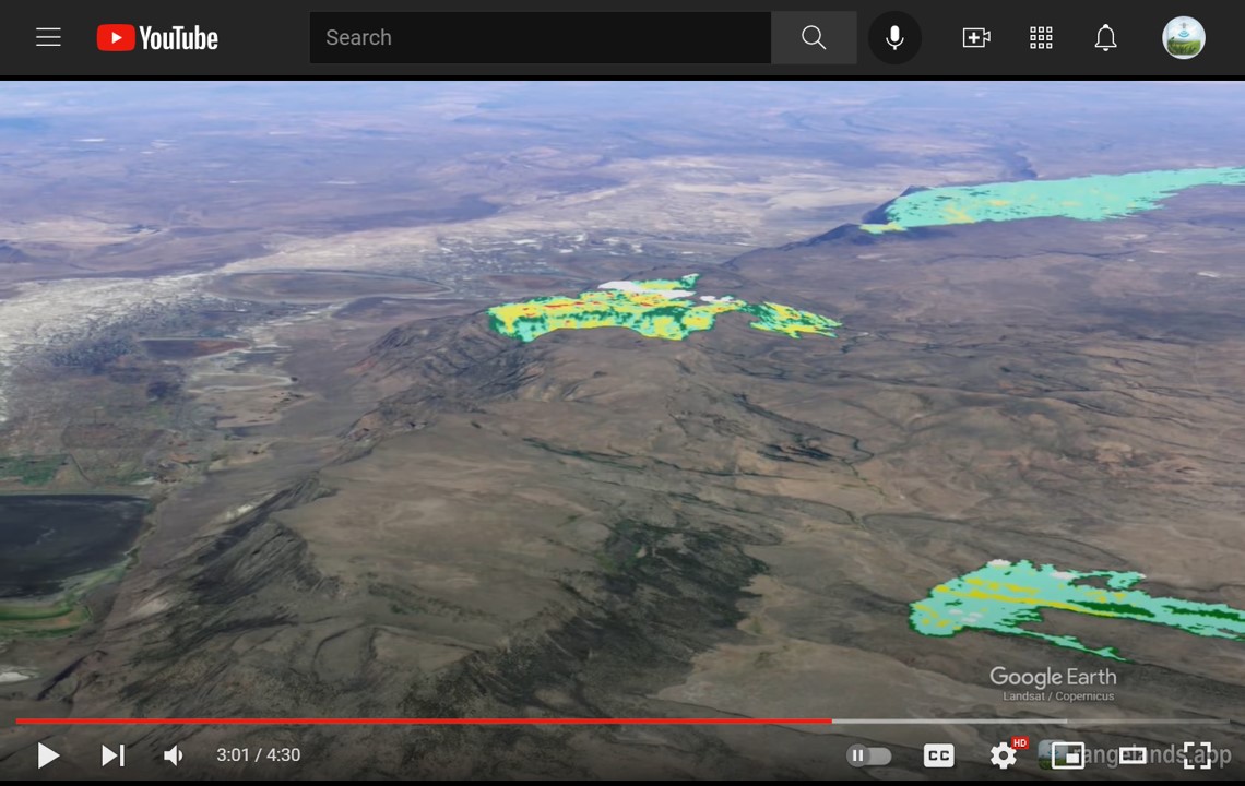
The Rangeland Analysis Platform (RAP) YouTube channel includes tutorial, informational and support videos that I have produced on a range of topics to support users of the RAP web applications. In general, I use Shotcut video editing software and OBS Studio video capture to record all videos and use Microsoft PowerPoint to produce the visual animations as seen in the videos (it's pretty amazing what you can accomplish with PowerPoint, in this regard!). All videos use music that is freely available through the YouTube Audio Library.
The YouTube content is then used in RAP in-person and online workshops (either directly or as pre-requisite content) and on our support site to compliment written articles. Below is a selection of the videos that I have produced for the Rangeland Analysis Platform.
The Vegetation Cover DatasetThe Rangeland Production Dataset
Use RAP to Better Understand Landscape Variability
Fundamentals of Remote Sensing of Rangelands
RAP Production Explorer Tool // Uploading a Shapefile
Navigating the Platform series
In addition to producing video content, I also curate videos produced by third parties that have gainfully applied the RAP data in presentations or analyses.